Saturday, August 4, 2018

Black Hills Forest/Black Elk Wilderness- Iron Creek & Iron Mountain Trails


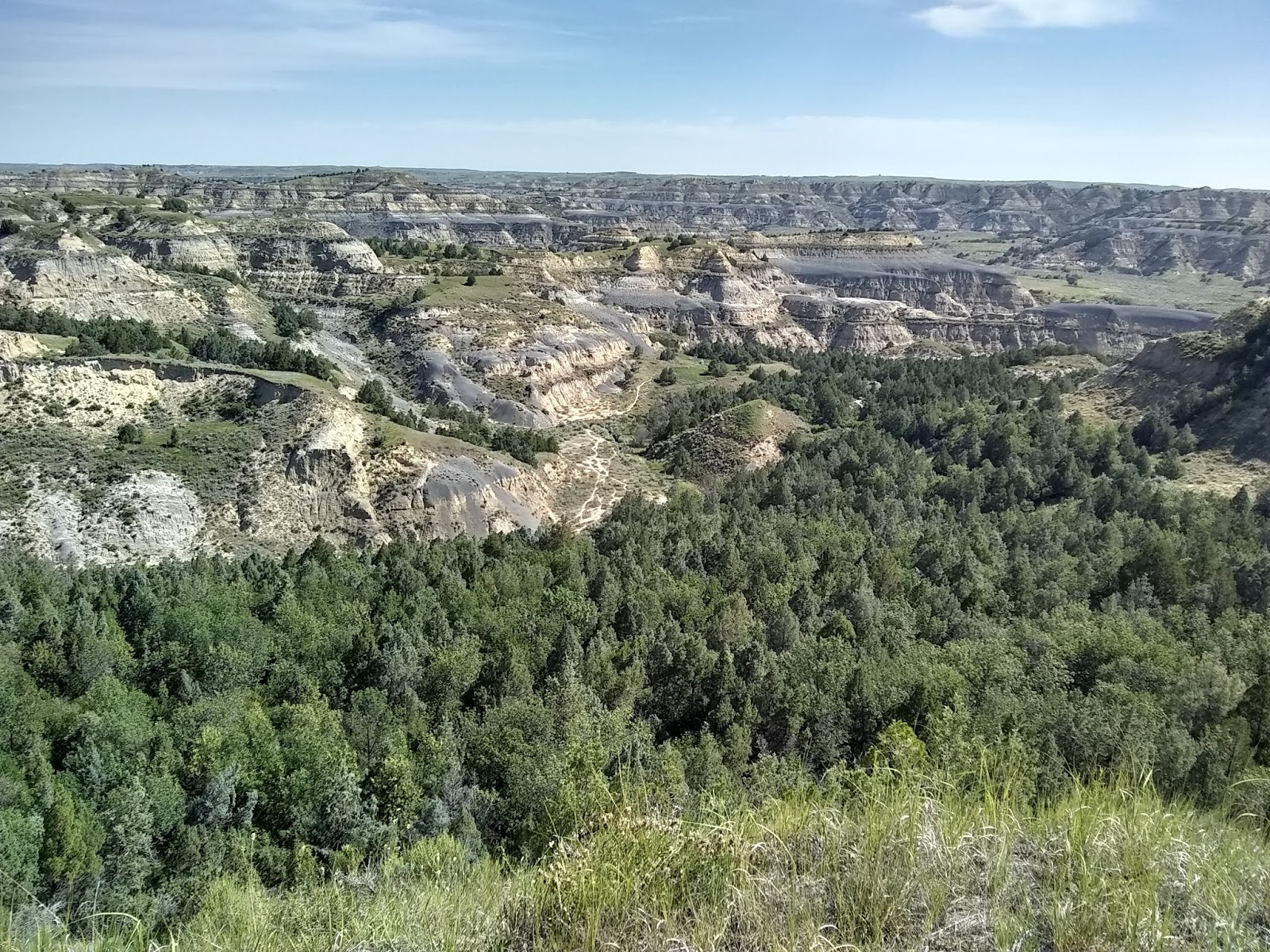
The Black Elk Wilderness is part of the Black Hills Forest.


Iron River Trail weaved over the Iron Creek numerous times. 


Because a receiving more than an inch of rain the night before the creek was a raging torrent.


The second wooden-plank bridge.


The third bridge was out and so ended our hike of only one mile down the Iron Creek Trail. We thought about taking our shoes and socks off and try crossing, but I remembered my promise to bring Aaron home safe and thought better of that plan, so we went back as we came.


 On our car ride to the Iron Mountian Trail, we were able to see Mt Rushmore in the distance. 


 A Military Ready to Eat (MRE) lunch at a picnic area next to Lakota Lake.


Lakota Lake.


We actually started our Iron Mountain Trail hike from a Trailhead off of Route 244 within the Mount Rushmore National Memorial. We followed the Centennial Trail for a half mile then Iron Mountian forked off to the left, and the Centennial Trail continued straight.


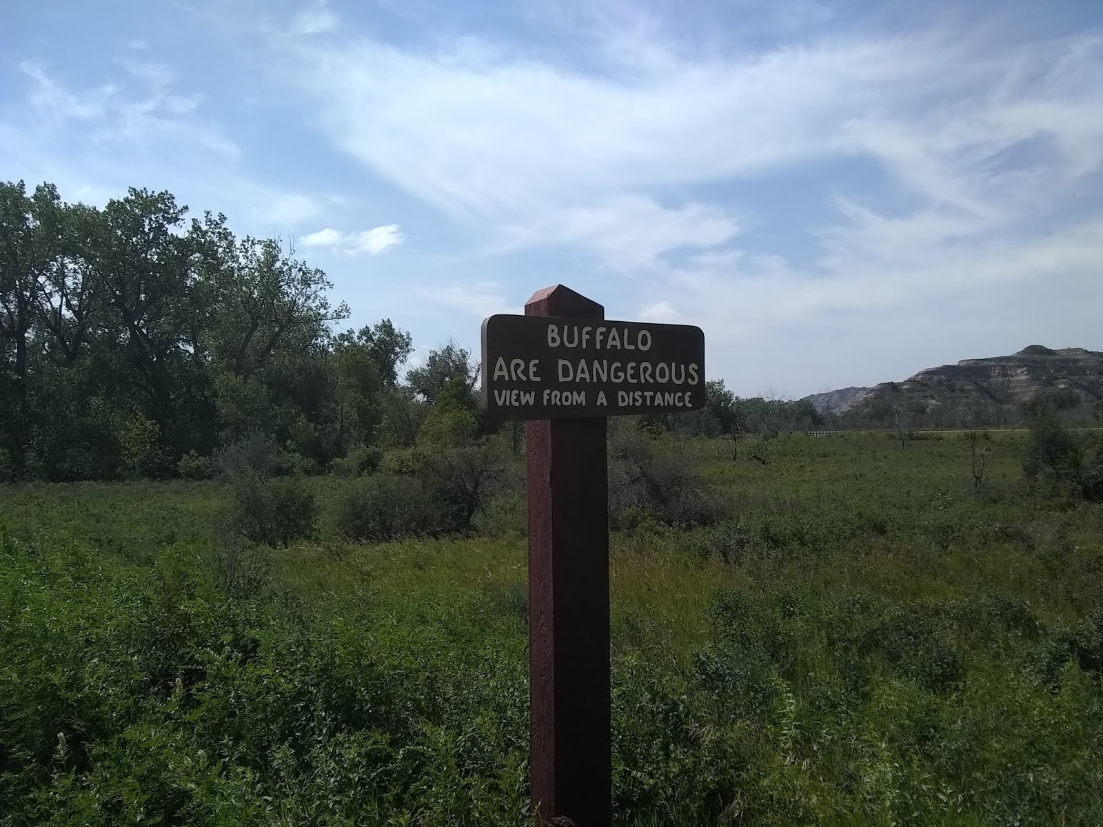
Lots of things to consider especially if you're backpacking but for us the primary concern is having enough water and staying on the marked trail. This is the actual Trailhead of the Iron Mountian trail off of Forest Road 345.


Lots of rain made for muddy trails. Here we can't even walk on the trail due to standing water within the path.


We were delighted to discover ripe wild raspberries.

A picture doesn't really show you what I meant by a "raging torrent." This video does.

https://www.youtube.com/watch?v=U6Skmjf8ufc


Thursday, August 2, 2018

Theodore Roosevelt National Park (North Unit)-Prairie Dog Town and Oxbow Overlook


The best pictures I could take of a prairie dog with a phone camera. All those light colored spots are a prairie dog home. They call this area Prairie Dog Town. 


While hiking to Prairie Dog Town, I had the pleasure of seeing some Buffalo grazing.


 The video below the prairie dog let me get really close and didn't scurry in his hole even with the small child making all sorts of noise.


This second video you can't see much, but you can hear the prairie dog sounding the warning to all the other prairie dogs of me approaching. 


The Scenic Drive is 14 miles long or 28 miles round trip and dead ends at the Oxbow Overlook. To reach the Oxbow Overlook you follow the North Achenbach Trail 1.2 miles. 


The view from the parking area. I had thought this was the trail and walked that trail 1/3 of a mile only to dead end at a cliff.


View from the Oxbow Overlook

Wednesday, August 1, 2018

Theodore Roosevelt National Park (North Unit)-Caprock Coulee Trail


The Caprock Coulee Trailhead sign is quite informative that shows you a map of where you're going, and how long it should take. Today they had posted an extreme heat advisory.


I never associated cactus with North Dakota.


I did not see Buffalo on this particular hike, but the evidence was left behind to let me know they were somewhere, and I just wasn't seeing them with my eyes.


 The Little Missouri River


The trail took you up through the rocks at times.


I'm standing on the trail, and the post with the brown sign of a hiker is assuring me I'm not lost. Incredible, breathtaking views all along the Caprock Coulee Trail made the 4.2 miles hike in 90+ heat worth it.

Monday, July 30, 2018

Theodore Roosevelt National Park-North Unit


This is a warning sign you will see throughout the park. I understand this sign because Buffalo looks to be very docile creatures, but they are a 2000 pound wild animal. 


 So what do you do if a buffalo walking towards on the road? Stop the car and hope it doesn't get perturbed and ram your vehicle and do some severe damage. 


Since it's so close might as well take a picture.


I like this picture because of it being a more natural setting for a Buffalo. The Little Missouri River is in the background.


Here are some education signs that you can read at a pullout along the 28-mile Scenic Drive.


The camp host said it was going to be hot for the next few days and he advised we find a shady campsite. I think we did a pretty good job at doing just that. This is campsite 27 at the Juniper Campground.


We were told Buffalo will wander into the campground and we weren't disappointed. Our tent and campsite were not in any danger because we were at the far end of the wooded area.


Each night at 7 pm a Park Ranger would have an educational talk at the amphitheater. This night was about Buffalo and Aaron is holding a horn. The other talk was about Voltgers which was quite fascinating. 


A view of the Bad Lands along the Scenic Drive.


Sunday, July 29, 2018

Turtle River State Park, North Dakota

"It is easy to love a mountain...But the prairie's charm take more looking." This is a quote from an unknown source. The Turtle River State Park is part of a Tallgrass Prairie where the annual precipitation is 24-40 inches.


The mowed area is my trail.


The Chalet Trailhead and the start of the Moose Head Trail.


A little shelter out in the middle of the prairie, I'm guessing for protection if a thunderstorm were to quickly arise so hikers could take cover.


There are 10 trails throughout the park with the shortest being .2 miles and the longest 2.45 miles. This picture was taken along the Riverview Trail.


Turtle River isn't just flat prairie land but has the Turtle River running through it, hence arrives the parks name. This is a view from a high bank looking down at the river.


Our campsite was part of the park's Riverside campsites exclusively for tents. Something a little different from other campgrounds is just beyond the tree in the background you see a car parked and that is where our Jeep is also. We had to carry our stuff a half football field to our campsite.


The park at no cost lent you a fishing pole and a small amount of tackle, and if you were under 16 years old, you could fish without a license. They said the river was stocked with trout, but I think we could have fished all day and still would not have caught anything.


  A Sunset over the prairie.

About 22 miles West of Grand Forks, ND on U.S. Highway 2  you will find the Turtle River State Park. The park is 784 acres. The opening quote I discovered is accurate. A prairie isn't dull like looking over a field planted with corn. There is a different beauty than what you would get with woodlands or mountains. I'm thankful to have spent a few days here and experience something different.


 In the video below, Aaron is doing a little horseplay with Gypsy, and Gypsy can get a bit rough and do a little nipping. I find the ending of the video funny because in the wrestling he temporarily lost his phone. The panic in his voice kind of tells you how important it is to him.

https://www.youtube.com/watch?v=u3MziSM1AQk