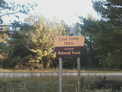
I last step foot here in April of 2014 before I moved to North Carolina.
At many of the intersections, you will see a map like this one.
The first bridge you cross on Creek Circle.
Along with maps, there are these directional signs.
The Leaky Hills Trail Bridge.
An open grassy area called "The Meadows".
Looking down at the Valley View Bridge.
Loud Creek Trail would be more appropriately named "Trails" because there are eight different trail loops. I have been on all the trails at one time or another, but today I took a counter-clockwise route going left at every intersection staying along the outer edge of the trail system. I made one large loop that calculated to 7.7 kilometers or 4.8 miles.
I am very familiar with Loud Creek, as a young man growing up in Mio these were the first cross-country ski trails built by the Forest Service in the 1980's. They are a very challenging cross-country ski trails with huge hills and sharp turns. As for hiking, they are a pleasant walk in a prototypical Michigan woodland. A few of the hills would be considered strenuous.
Wildlife is in abundance, and if you are observant, enough you might see a deer, grouse, or maybe even a fox along with many other Northwood's creatures.


No comments:
Post a Comment