What makes the Point Beach Segment of the Ice Age Trail so incredible is the 3 1/2 miles of isolated Lake Michigan shoreline.
At the entrance of the park, just before where you check in to the campground, my journey began.
The trail runs parallel inland from the lake for about a mile, then takes a sharp easterly turn and brings you to the beach. This is what makes the shoreline portion of the hike so isolated.
In this picture, what don't you notice? People would be the correct answer. I hiked the trail coming from the north 1.7 miles knowing I would have to walk that same distance back; I spotted this bench perched up on the dune and thought this would be an excellent place to rest and turn around.
The bench gave a panoramic view. This hike was done in the morning, and I was finished around lunchtime; then, I took a trip into the town of Two Rivers and had lunch at Connie's Diner. After lunch, I found where the trail began from the town's end off of Park Road, where it deadends.
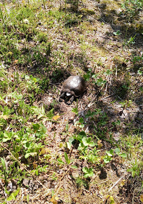
Gypsy met a friend.
A creek emptying out into Lake Michigan. The water is flowing quite swiftly.
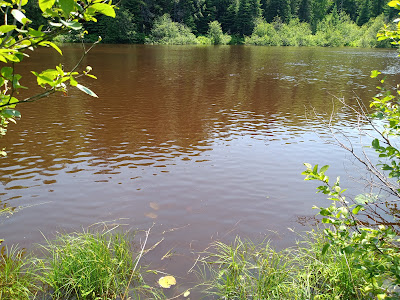
The creek's water is a cooper color, probably because of the iron in the water, and it turned the shoreline this dark copper color.
Someone had made a teepee out of driftwood.
The two issues we had to deal with at this time of year were the dead Alewives' fish and biting black flies.
We made it to the same bench we came to in the morning. But instead of only a 3.4-mile hike (there and back), it was a 6-mile hike total. That day, we hiked 9.4-miles, and we slept very well that night.
I can't say enough good about this campground managed by the Forest Service. I would come again but not in June.


.jpg)


.jpg)


.jpg)


