Showing posts with label Porcupine Mountains. Show all posts

Monday, April 25, 2022

Porcupine Mountains - South Mirror Lake Trail


The Trailhead of the South Mirror Lake Trail. From the South Boundary Road, you turn on Summit Peak Rd. This trail is a hike in and back out. It is a little over 2.5 miles to the lake. In total, we hike about 5.2 miles.


The trail wasn't overly strenuous and was relatively wide compared to others I've hiked. It was in the upper 80's, and we drank all our water. What was nice was that the mosquitoes were unusually light.


This is a bear pole at a campsite near the lake. You hang your food on these poles so the black bears won't tear through your stuff trying to get at your food.

 Mirror Lake.


We found a little treasure along the trail.  A little Googling and I discovered that this Hamm's beer can with its Sunburst design dates post-WW2 and pre-1965. Its logo along the bottom of the can says, " From the land of the sky blue waters." The can was opened by what used to be called a "church key." can opener. That was before the invention of pull tabs.


This hike was done in August 2021.

Saturday, July 28, 2018

Porcupine Mountains- Nawadaha, Manido, and Manabezho Falls

There are three waterfalls all in the same general location along the Presque Isle River a short distance before the river empties out into Lake Superior. First, there is the Nawadaha then a short distance downstream is the Manido falls then very shortly further down is the Manabezho falls. My pictures are kind of jumbled up, and I can't really identify what falls are what. But if you ever visit here, you're going see all three.


A view from the top of the Nawadaho Falls.


Most of the viewing is by a series of wooden stairs and platforms.


After you pass the Manabezho Falls, the walkway crosses the Presque Isle River. It's an expansion rope type bridge and moves and sways if you jump up and down. This is where the Lake Superior Trail begins at the other end of the park 16-miles from where we entered at the other end for our Lake Superior Trail hike.


From the center of the bridge, you got this view of the violent rapids.


Aaron probably did something he wasn't supposed to do, but he took a close up video of the falls. He wasn't in any danger unless he stepped into the stream. He took this picture of Gypsy and I waiting for his return. 


To view all three waterfall, it's quite a little walk but is something you can do in just a few hours time. I would say it is a must see if you're visiting the Porcupine Mountains.


Our campsite was at the Union River Outpost. As far as we could see, there was only three campsite, and they were huge. Our site had a driveway longer than most residential drives, and the area was almost a half lot in size. We were in black bear country so we keep the Jeep close by and had bear spray in the tent with us.   

Friday, July 27, 2018

Porcupine Mountains- Lake Superior Trail


Starting at the trailhead off of Highway 107, our goal was to hike 3 miles to Buckshot Cabin.


 Aaron insisted on wearing the backpack with all our water and food. It might have weighed 25 pounds.

There were some wet areas, and the boardwalk was nice to keep your feet dry


A well-worn trail and blue diamonds keep us on the right path, so we did wander down any false trails.


 Along the way, there were several benches to rest and take in the view of Lake Superior in the distance.


Buckshot Cabin. There are five total of these cabins on the Lake Superior Trail.


We ate our MRE lunch on makeshift benches that made an L shape around a fire pit.


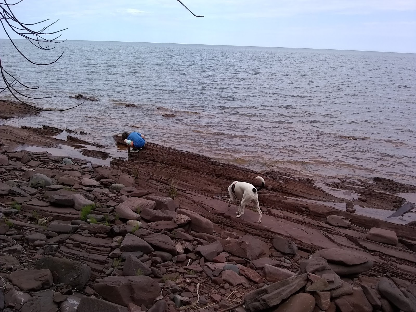
The Shore of Lake Superior. It was quite rocky and not ideal for swimming.


Aaron found an old saw blade among the rocks. We decided to hike it back to the Jeep. I wonder how old it is and how it ended up where it did, and what was it used for?


The hike back was strenuous being uphill it seemed most of the way, and the trail very rocky as you can see from the picture. We were creeping along at a pace of 55 minutes per mile, and Gypsy and Aaron are exhausted. Funny thing we passed this young lady with a full backpack of 40+ pounds as perky as could be. Must be nice to be in optimal shape.  

There were many trails we could have chosen, but I'm glad we hiked the Lake Superior Trail. We will return at another time and stay a week and explore this incredible wilderness in more depth.


Thursday, July 26, 2018

Porcupine Mountains-Lake of the Clouds


Lake of the Clouds


Gypsy seems to enjoy the view as well as we did.


A view of the Upper Carp River looking East from the observation area


A ground-level view of the lake from the Mirror Trail.


 Looking up to where we had come.


Wooden bridge over the Carp River going South on the Mirror Trail.


Aaron is looking in the water from the bridge, and there appear to be eggs in the water. Our conclusion is someone threw chicken eggs over the bridge into the shallow water below.


There were so many trails to explore and so little time. The Porcupine Mountains was more or less a stop on our way to a different destination. We did stay an extra day, but these trails will have to wait for another visit.


Union River Campground site #1.