Thursday, February 11, 2016

Guilford Courthouse National Military Park

The Guilford Courthouse National Military Park is a historic battleground that took place during the Revolutionary War. There is a maze of walking paths throughout the park made of dirt, gravel and asphalt.  


Take an audio tour by dialing 336-535-3006. After the introduction press 1. follow the prompts after each stop. There are six stops in all and number seven is your final message.


Throughout the park there are monuments and signs like the one above that gives you a brief description of the battle.


It could be confusing on which direction to go while walking the audio tour. Signs like this helped me along my way.


Through the woods and across the bridge we go to our next stop.


Not only are there monuments but there are nearly a dozen or so statues to view. 


Entering the Military Park from Country Park, which is attached on the opposite side from the main entrance you pass this old log cabin with moss covering the roof.


Gypsy meets a new friend on this walk. Another Boxador, i.e., Boxer/Labrador mix.


An excellent combination of walking the dog and learning about history at the same time.  The three times I visited the park I walked different paths and measured a little over two miles each time.

Sunday, January 10, 2016

Boone Cave Park


 The Boone Cave Park is a hidden treasure in Davidson County just 3-miles north of the unincorporated town of Tyro, NC off of NC Highway 150 at the end of Boone Cave Rd.


A monument to Daniel Boone.


To the right of the parking lot are the long flight of stairs leading down to the Boone Caves.


The Devils Den is the top photo. 


Gypsy and I begin our hike on the Back County Trail.


On this day, we should have taken the flood plain bypass. 


A view upstream of the Yadkin River. Gypsy is intensely watching some ducks.


The torrential rainfall from the previous week made for some muddy paws and boots. During the Summer, this portion of the Back Country Trail is a beautiful lush green and tranquil setting.


Throughout the park, there are (guesstimate) hundreds of these educational placards about plant life. 


The Wetlands Trail has an appropriately named because it passes through a flood plain of the Yadkin River. I'm not sure how the trees don't drown from this yearly cycle of flooding.


A chimney and partial remain of the walls of a 1740 cabin.


A replica cabin and homestead of what living conditions would have been like for the young Daniel Boone. 


A large substantial size boardwalk through a wetland.


 I was quite fascinated by the sound of frogs in January. While intensely recording the frogs ribbiting  I wasn't paying attention to what Gypsy was doing.

The park is 110-acres in size, and altogether there are 5-miles of hiking.  The list of trails and their length are:


  • Cottonwood Tree Trail 1-mile
  • Woodland/Wetland Trail 3/4-miles
  • Back Country Trail 3/4-miles
  • Wildflower Trail 1/2-mile
  • Overlook Loop 1/2-miles
  • Runners Loop 1/2-miles
  • Boone Peak Trail 1-mile

On this visit the access to the largest Cottonwood Tree on the east coast was blocked by flood water, Here is an image from a Google search


160-feet tall and 15' 8" circumference.

Sunday, December 13, 2015

Piedmont Environmental Center (North Preserve)

The  Piedmont Environmental Center has two sections. North of East Fork Road is called the North Preserve. Since the South portion of the preserve is nearer to my home, I take most of my after work walks there but usually do my Sunday afternoon strolls up at the North Preserve.


The map above shows the trail system of the North Preserve. It is turned sideways whereas North is to the right and South is to the left.  If you walk the entire outer perimeter as I did, you will have walked 3.45 miles.


The primary access to the North Preserve is parking at Jamestown Park. I prefer to park my Jeep at the dead end of  Sunnyvale Drive and walk 100 yards beyond the gate and begin where the Deep River Trail crosses the road.


This picture shows both my beginning and ending spot. I am parked 100-yards to the right. I can go in either direction and will arrive back at this location in just under 2 hours. 


About half of the three and a half mile walk is on the Bicentennial Greenway. 


 Sometimes I will take a shortcut on the Pinewood Trail. This trail takes you through an impressive stand of pines. This path will shorten the hike by about one mile.


Hiking back on the Deep River Trail I have some gorgeous views of  High Point Lake and will encounter wildlife such as a Blue Herring, beaver,  ducks, and deer seeking a drink.


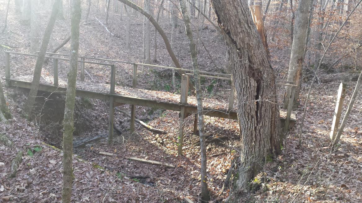
Not only do you have the lake but several creeks that you cross over on some simply built bridges and even a short boardwalk.  At this time of year, there's barely any water flowing.


The portion of the Deep River Trail that circles North of the Greenway will walk you right along the banks a steady flowing creek with plenty of rocks and rapids. 


A large tree recently fell across the Deep River Trail and had been cleared out of the way leaving this tree trunk along the side of the trail. I counted 103 rings that date this tree's beginning to 1912.


This burl probably caused the death of this tree. A burl is a tree growth that the grain has grown in a deformed manner.


Why do mushrooms grow on trees? Here is an answer I found: "Mushrooms that grow on trees bark are spread by wind-blown spores. They usually infect older trees; or trees that have been injured by vandalism, pruning, or storms. Boring insects, high winds, fire, ice, lighting, and snow all can cause wounds that are susceptible to infection by mushroom spores.

Conclusion: The North Preserve is a bit more isolated than the South and less traveled. I enjoy the change of scenery it gives me. Both sections of the Piedmont Environmental Center are a real pleasure to retreat to from the urban sprawl of my everyday surroundings.