Sunday, July 16, 2017

Blue Ridge Parkway-Graveyard Fields and the Yellowstone Falls

Traveling down the Blue Ridge Parkway between mile post 418 and 419 you will notice a parking lot full of cars even on a Tuesday afternoon. Aaron and I had been by here on previous occasions and had noticed how popular this spot was, and then we saw a glimpse of some waterfalls in a distant view, and it all became clear why. Most of the people are here to see the waterfalls not to hike the Graveyard Fields Trails. We came to do both.


This big sign near the steps and trailhead give you the full rundown of what you will find at Graveyard Fields. How it came about the unusual name is due to a natural disaster described as a "wind blow" knocked over the spruce forest, and the resulting uprooted root-balls left a permanent mark, eventually covered with soil to give the impression of burial mounds.


The first view of the Yellowstone Falls (I call it a view for lack of a better word because it's more than a view because you can stand right in it.) is what is known as the "Second Falls." The name to me doesn't make sense because it is some smaller falls above the Yellowstone Fall which to me would make it the first falls and the first that you come to.


A look upstream at the Second Falls at a small wading pool.


On top of the Yellowstone Falls
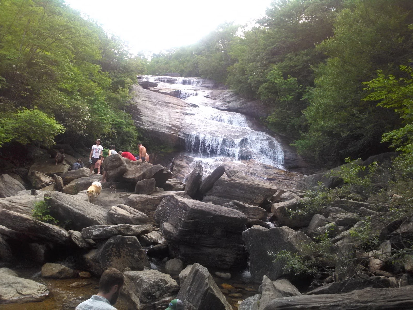

As you exit the stairs down to the fall this is your first view.


After carefully climbing over the boulders that you saw above; this is the magnificent scene.   


This rock is the closest Gypsy, and I was going to get. Aaron took a dip in the ice-cold water wearing blue jeans. Our revisited the next day he had swimming trunks and swam around at the bottom of the Yellowstone Falls.


We didn't come here just do a short walk to see the waterfalls but came to hike the Graveyard Fields Trail and that we did. Unfortunately, we were in search of the Upper Falls and had thought we might have taken a wrong turn along with another family scratching their heads wondering the same thing. We traveled as a group for a while until Aaron had to tie his shoes and they continued, and we decided to turn back, and we will save the view of the Upper Falls for another trip. We realized after consulting a map we were probably only had a quarter of a mile more to go, but hindsight is always 20/20.


The loop trail back to the parking area we cross over the Yellowstone Prong. The view from the bridge and height is impressive.


Our last view of the Yellowstone Prong from the bridge as we continued walking through grasslands, rhododendron thickets, and over boardwalks. The Graveyard Fields and Yellowstone Falls was an excellent start to a four-day stay in the Blue Ridge Mountains. Luckily for me, I hadn't slipped and fallen on a slippery rock and injured my right hip at this first visit here. I only had to limp along on one shorter hike on our last day.


https://www.youtube.com/watch?v=uynq4Vjoh5U

Copy & paste and go to YouTube and watch the video.

Sunday, July 2, 2017

Nags Head Woods Ecological Preserve

Nags Head Woods Ecological Preserve is the first classic hike presented in Joe Miller's book 100 Classic Hikes in North Carolina. Every vacation I must include at least one trail from this book if the driving distance is reasonable. This forest was just little over a 50-minute drive from our campground at Cape Hatteras.


The sign that lets you know that you have arrived.


It's quite surprising to find a Forest on the Outer Banks. This map shows only the specific trails we hiked, but the map doesn't include all the other trails within the 1100 acre maritime forest.


Throughout the woods is the greenest slimmest algae swampland you will ever encounter. 


Cattails are nothing special to look at, but I have never seen cattails 10 feet plus tall. 


Partridgeberry


Cinnamon Fern


Sweetgum


This American Beech and other plant life including several oaks estimated to be more than 500 years old is just a small sample of what you will see in Nags Head Woods. What you may or may not see but are present within this forest are "five species of salamander, fourteen species of toads and frogs, eight species of turtles, five species of lizards, and twenty species of snakes including the venomous water moccasin and timber rattler. '


The nearly 90-degrees  made this 3.7-mile hike an exhausting affair. Unforturnly I forgot to take a picture of the two other brave souls who went with Aaron and me which was Logan and Kelly. They bowed out after doing the Sweetgum (2) and Center Trails (1). Aaron and I  added the Blueberry Loop Trail (3) to our adventure.


 There is nothing better than to relax and chill out at the campsite after a sweaty hike. Our home away from home was site 399 at Camp Hatteras RV Park.

Friday, April 14, 2017

Cedarock Park

Cedarock is a "municipal" park but is a very unusual municipal park because of its size of 414 acres, which makes it one of largest in the state and its location which is 6-miles from any town.


For my night owl sons, being ready to go hiking at 8:30 in the morning is quite an accomplishment. We will be picking up two more friends and cramming all of us in my Jeep along with picnic stuff.


Rock Creek Trail is the first trailhead we found, and that's the trail we hiked. We did a little wandering around the park looking for where the trails were and came across a park map that showed us this trailhead was near shelter #3.


One of a couple bridges that cross Elmo's, Creek.


A rock outcrop along a small tributary that of the three boys I had with me Aaron the only one that felt the need to climb upon.


We walked along and crossed over several small creeks. I'm not sure if it was the same stream or a series of tributaries.


 From left to right, Nick, Logan, and Aaron. Rock Creek Trail was marked with a turquoise diamond with an arrow pointing the way. 


Some ferns and the beginning of an Iris flower along the path.


On another rock outcrop that the creek went around and under. Here is the whole crew, Nich, and Gypsy, Nick's mother Suzanne, Logan and Aaron.


Elmo's Creek.


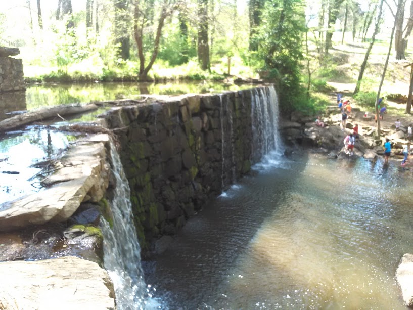
The rock dam and millpond at an old mill site was a nice ending to our hike.  

Monday, March 6, 2017

Johnston Mill Nature Preserve

Johnston Mill Nature Preserve is a 295-acre tract of land along the New Hope and Old Field Creeks that's sandwiched between the Mount Sini and Turkey Farm Roads. It wasn't too hard to find because the preserve is a short drive after we exited Interstate 40. Before we started our hike, we went down NC Hwy 86 into Chapel Hill.  The part of the city I drove through seemed ritzy appearance.


Thanks to the Triangle Land Conservancy this prime real estate was preserved from development. 


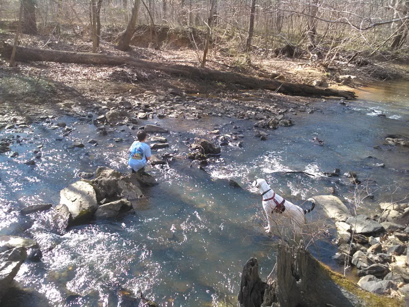
Aaron is enjoying doing some rock hopping at this small rapids. Gypsy look on in fascination.


We started our hike at the Turkey Farm Road parking area and followed the Robin's Trail to here.We then traveled the Beech Loop Trail.


From the Beech Loop and Old Field Bluff  Loop Trails, we enjoyed some scenic views of the New Hope Creek and Old Field Creeks while taking a rest on several wooden and wrought-iron benches scatted throughout the preserve. 


All the benches were in memory of someone. This bench was in memory of a family who died in a plane crash on July 19th which happen to be Kelly's Birthday.


We crossed the creek several times on plank bridges like this on.   


Ouch! I told him that log looked slippery 


A cave in a tree. Aaron, please don't stick your head in there.


He has never been a good listener.


The Bluebird Trail is an open meadow created unfortunately by a powerline.


 Aaron is always adventurous. 


From the parking area a short distance down Robin's Trail on the Turkey Farm Road side of the preserve we walk on this boardwalk.  We started our hike at 3:02  and was back to the Jeep at 5:20. We walked approximately 3.5 of the 4.1-miles. The only part we didn't hike was the Bluebird Trail and the section of the Robin's Trail that leads to the Mount Sini parking area. 

Monday, February 20, 2017

Hanging Rock State Park-Moore's Wall Loop Trail


The Moore's Knob Fire Tower and the cliffs surrounding it are the reason you huff and puff yourself vertically nearly 800-feet to an elevation of 2572-feet.


From the observation platform of the fire tower, you get a spectacular 360-degree view.


On the same rock to the right of the people with the husky dog, Aaron is doing his "on-top-of-the-world" pose.


We pass through some boulders on our way to the knob.


As we neared the top, the climb on the Moore's Wall Trail became steeper and rockier.


Part of the trail followed near a stream, and this boardwalk went through its flood plain.

I keep Gypsy near me at all times around the cliffs.


This is called Balanced Rock. It looks like a teeter totter. Aaron climbs on everything, and there he is to the right.


Aaron is taking a rest by laying down in this small cave. We have been hiking steadily uphill for nearly an hour. 


Gypsy may be my dog, but she sure loves her little boy and does not like him getting out of her sight on our hikes.


We wish sometimes we could be like Gypsy and take a refreshing drink from a mountain stream. If we purchase that Life Straw from the backpacker's catalog then will be able to. 


Some of the many views you'll see. We spent about an hour on top of Moore's Knob. This is the highest point in the Sauratowns.


The Moore's Wall Trail begins from one side of the campground and end at the other.  Aaron decides to call his mom to let her know what an exciting time he had with his dad at Hanging Rock State Park. He picked an appropriate place to call on his cell phone.