Thursday, April 9, 2020

Uwharrie National Forest - Uwharrie National Recreation Trail (Yates Place Camp to NC 109 Trailhead)

 The 3-miles from Yates Place Camp to the NC 109 Trailhead was recommended by the author of 100 Classic Hikes in North Carolina as a good sampling of the more than 20-miles of hiking this trail offers. I could have coved a lot more mileage of this trail if I had a hiking partner that also drove a car, we could have placed our vehicles at each end of a trailhead. But instead, I had to do a hike in and back.


Yates Place Camp looks to be a nice secluded rustic campground off the narrow Secondary Road 1146 (Dusty Level Road).


The trail is 3-miles from trailhead to trailhead, but before you get to the actual trailhead from the campground it's a half-mile hike down this spur trail where the Duchman Creek Trail meets with the Uwharrie Trail.


The actual beginning of the Uwharrie Trail Trailhead from Yates Place, and as you can see I have 3-miles more to go and then back the same way I came. 


The first half-mile was an ugly, smelly hike. The U.S Forest Service had done a "control burn" of the forest floor. 


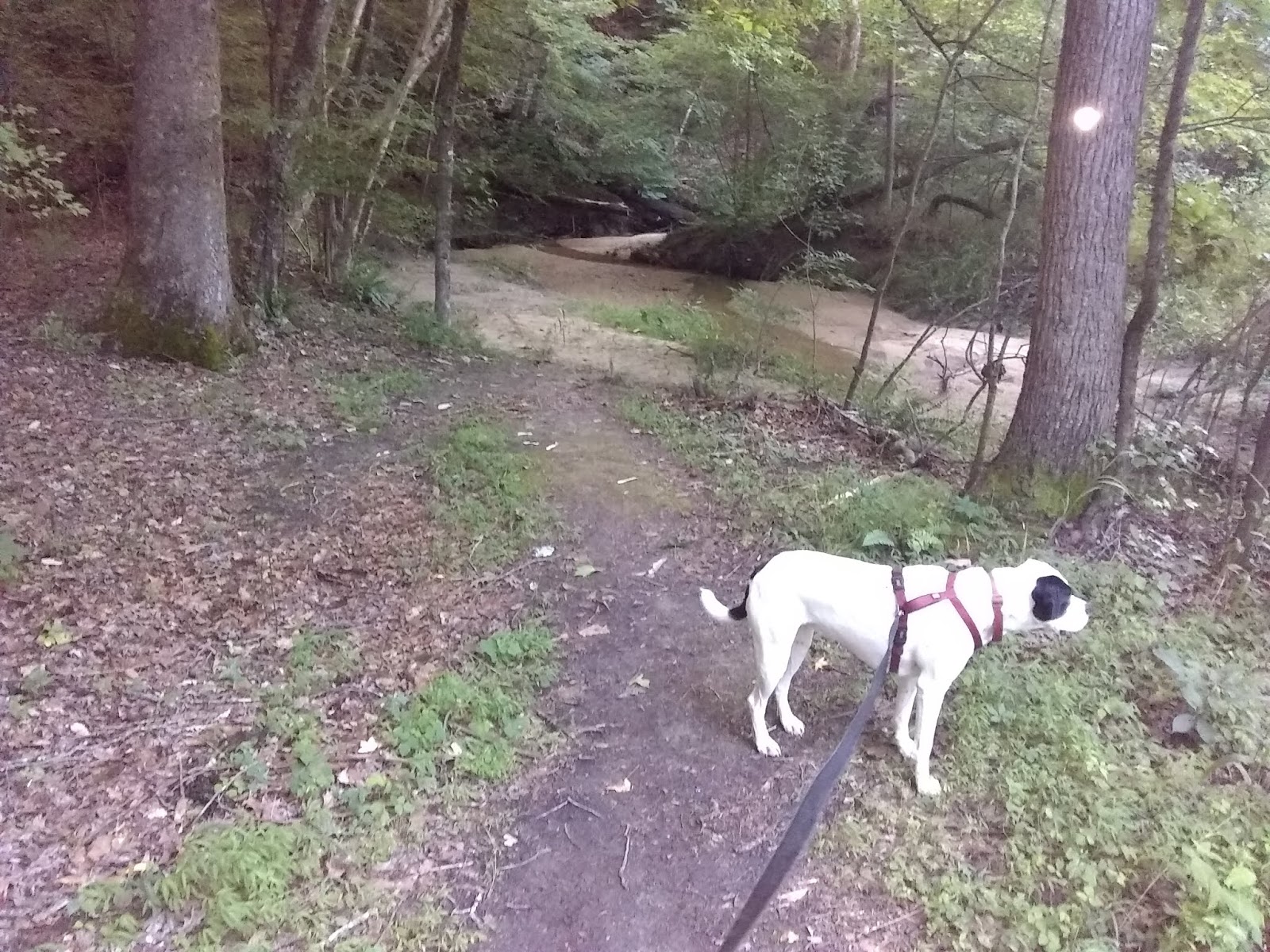
After leaving the control burn area the hike got much more interesting. There were several of these creek crossings. I was appreciative of the laid down rocks so that my feet could stay dry. Gypsy wasn't so worried about that and refreshed herself from the stream. Our hike started out with a temperature of 84 degrees, but due to a thunderstorm towards the end of our hike, the temperature dropped to 72.


The trail was well marked with a white blaze on the trees, and for the most part, the trail was easily visible but there were several false trails in which the white blaze came in useful for knowing which direction to travel.


Trail skirts around some boulders.


The Uwharrie National Recreation Trail is designed for backpacking and there are quite a few of these campsites along the trail. Almost always they located near a water source of a creek.


An old faded wooden sign letting me know I'm nearing my destination.


The parking area is adjacent to the left of where the trail crosses NC Highway 109. Hikers stating here going south from where I crossed the road might have a tough time seeing the trail but glancing to the right you will see the white blaze though the trail itself is somewhat abscured. Gypsy and I couldn't rest more than 10-minutes because we just had enough time to make it back to the Jeep before dark, and also unknown to me a thunderstorm was lurking in the distance. We just made it back just before the rain hit.

Saturday, June 22, 2019

Rich Fork Preserve

The Guilford County Parks and Recreation made the decision not to let the old Hedgecock Farm get gobbled up by developers and they purchased this picturesque 150 acres to preserve the natural habitat and made bike and hiking trails through its woods and along and over the Rich Fork Creek. You can see from the aerial view map that this is a small forest in the middle of an urban area.


From the parking area if you go left the trails are for bikes and hiking. There are lots of twists and turns and you cross the small steam about a third of a mile in.


From the parking area if you go right you start out on a road size trail which becomes obvious this was once the farmhouse' driveway.


The old farmhouse. I think they're going to let mother nature take its course with the buildings. all the building have a fence around them to keep people out.


The Barn


.


After passing the house and the other structures, you come to the Commer Trail and Commer Trial Loop Trailhead.


Turning right will takes you down this path which winds its way down to Fork Creek where the trail dead ends.


The end of the Commer Trail at the creek.


On the Commer Trail Loop, before it loops back to the trailhead, you walk along this high bank that looks down on the creek.


My last picture is this open grassy area that is not too far from where you started. There are more trails being built and I saw several bridges also being constructed. So I'll probably be having an update by Summer's end.

Thursday, August 30, 2018

Bicentennial Greenway-High Point Section

The Bicentennial Greenway is advertised as being fourteen miles long, but the Greensboro section of the greenway is not continuous and have gaps of nonexistence or undeveloped portions. The High Point section is 6.6 miles of uninterrupted greenway that takes you through hardwood and pine forest, lakeside habitats, and follows along a scenic East Fork Deep River.


You cross the bridge over High Point Lake and between the property of the John McClain American Legian Post 196, and High Point Lake is the official beginning of the Bicentennial Greenway. There is no parking here but another quarter of a mile further down Penny Road at the Piedmont Environmental Center you will find a 32 car parking area.


Every quarter of a mile is marked with a yellow painted mileage post. 


At the Environmental Center, there are 11 miles of nature trails, plus educational activities and classes. The Center's address is: 1220 Penny Road, High Point, NC 27265


This covered bench has come in handy a few time when I have gotten caught in a storm. There are a couple more of these along the greenway.


Just past the half mile post, there are the only stairs that you will encounter on the greenway. If you notice the narrow strip of a board that is to aid bikers pushing their bikes up the steps.


A Geocaching container that Aaron and I found 30 yards off the path. Geocaching is an outdoor activity, in which participants use a GPS receiver or mobile device and other navigational techniques to hide and seek containers called "geocaches" or "caches," at specific locations marked by coordinates all over the world.


For the first mile, you continuously have a view of the lake and the various lakeside habitats. I have seen turtles, cranes, herons, geese, ducks, beaver, and deer.


Seeing deer close up is nothing unusual. This picture of a buck was not taken on this particular walk but on August 8, 2016.


I have just crossed the East Fork Road headed into the North Preserve. The greenway goes away from the lake through the hardwood and pine forest, while the Deep River Trail follows along the shore.


Passing by an old pine plantation.


It was 91 degrees this day, but I brought plenty of water for both myself and Gypsy. We took breaks along the way. At the shady spot, the grass was still moist, and Gypsy was enjoying its comfort.


A bike station at Gibson Park.


Gibson Park is just past the 3.5-milepost.  It has flush toilets, picnic shelters, Pop (soda) machine, and other things you usually find at a park. This is a historic log cabin.


The tunnel going under the very busy West Wendover Ave.


The East Fork Deep River.


A long boardwalk just before crossing the Piedmont Parkway at about the 5-milepost.


Crossing over the Piedmont Parkway. Some pretty rock work through the median strip.


One of several picnic tables you will find along the greenway.


The end of the Bicentennial Greenway (High Point Section) at the intersection of Gallimore Dairy Road and South Chimney Rock Road. The greenway continues again about 3.7 miles away at the dead end of Swing Road near West Guilford High School.


After a pleasant but hot North Carolina Summer stroll down the Bicentennial Greenway, we are relaxing back at the Piedmont Environmental Center's porch.