Monday, June 22, 2020

Lake James- Shortoff Mountain Trail

"This may be the best view in North Carolina," says, author Joe Miller. 
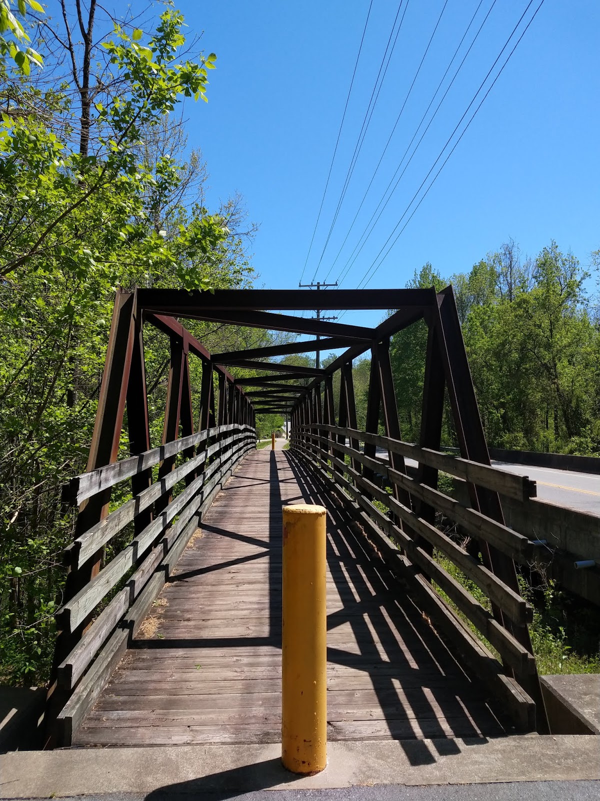


The Trailhead. 


Two miles of steadily upward climb totaling an elevation gain of 1155 feet.


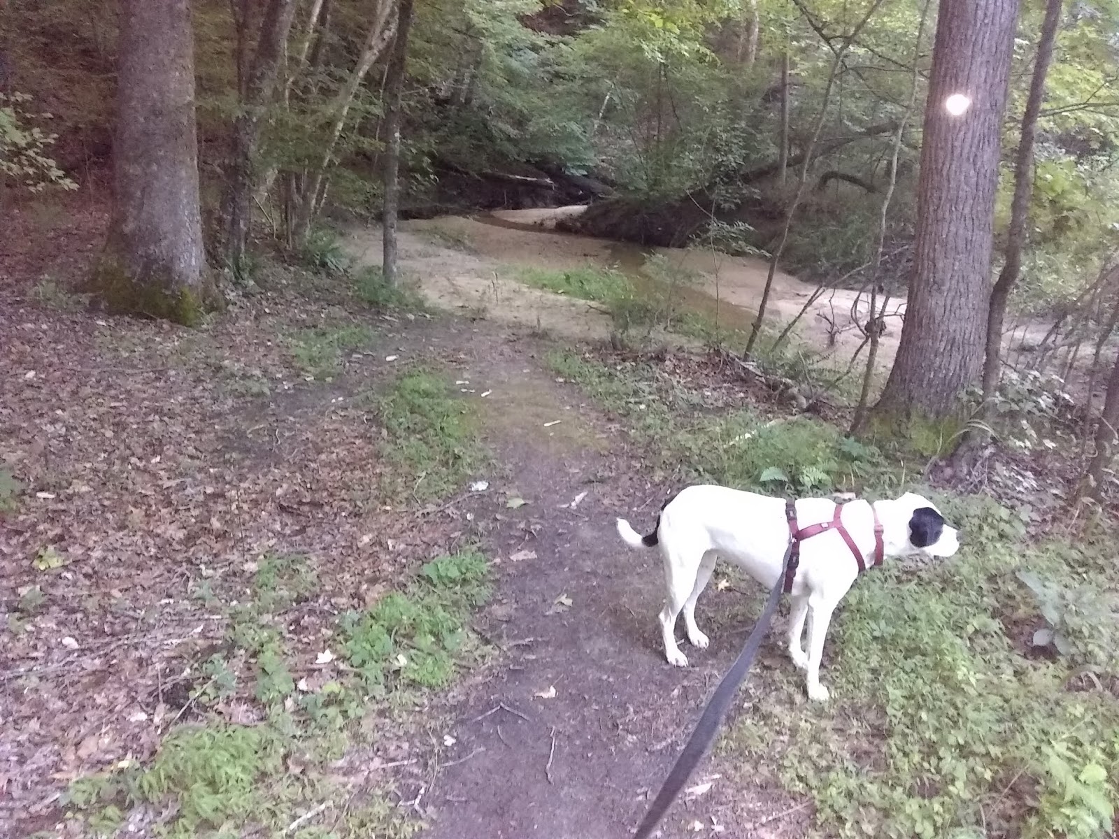
Cold freshwater for Gypsy. I was able to save my bottled water for myself and filled her water bowl with this.


A magnified closeup picture of Lake James. The lake is 1200 acres in size.


   I had a constant view of Lake James for most of the hike. This is the actual photo.


As I neared the top of Shortoff Mountian the trail became a bit more vertical. The trail developers aided hikers with some rugged stairs.


 Looking down at the 12-mile long Linville Gorge from the 2883-foot Shortoff Mountain.


An intersection where the Mountain-to-Sea Trail crosses the Shortoff Trail.


Shortoff Mountain is open to backpackers and campers. This would be a fantastic campsite.


At the top of Shortoff Mountain was this pretty little mountain pond. This is where I ended my hike and began the much easier descend back down the mountain. Thanks to my app All Trail it gave me all sorts of information. My hike totaled 4.7-miles and it took me 3:17:50 hours. I had an elevation gain of 1155 ft and burned 1516 calories which most of that I'm sure was on the way up.  

Sunday, May 10, 2020

American Tobacco Trail

The American Tobacco Trail is 22.2-miles in length and I hiked the 5.7-mile portion recommended by author Joe Miller (100 Classic Hikes North Carolina). I hiked the New Hill -Olive Chapel Road Access to the White Oak Church Road Access.


All trail parking areas are identified with a sign that looks like this (at least those in Wake Country)


 A typical view of the trail with a natural surface. Hikers share the trail with bikers and horse riders.


 The Beaver Creek bridge. Each bridge has a small gold-colored placard identifying what stream you're crossing.


 A view from the Beaver Creek bridge.


Reedy Creek bridge


White Oak Creek bridge


Muddy brown waters of White Oak Creek


The story of the tobacco industry.


An old tobacco barn


Since I couldn't hike 11.4- miles all in one day, I split the hike up into two days with the first hike of 5 miles from New Hill Olive Chapel Road traveling North to the tunnel under Highway 64 then back.


The second day I started at White Oak Road Access and hiked South to the Highway 64 tunnel and back for a total of 6.4 miles. I can see where we get the phrase "the light at the end of the tunnel." 

Sunday, April 12, 2020

Atlantic & Yadkin Greenway - Palmetto Trail

The Atlantic & Yadkin Greenway is a Rail-to-trail project. I started at Strawberry Road located at the north end of Brandt Lake and I went SE towards Lake Brandt. The Greenway starts at NC Highway 150, 1.7 miles the other direction across the road.


A cleverly designed sign marking the name of the greenway.


 About a third of a mile, Gypsy and I crossed over the north end of Lake Brandt on this footbridge.


The greenway passes by the Bur-Mill Park. Here you're looking at a bike repair station including an air pump.


This sign tells you all about the A&Y railway.


I took the Palmetto Trail in a counter-clockwise direction. This trail goes around the south end of Lake Brandt then turning left on the sidewalk along Old Battleground Road for a few hundred yards I headed back to the greenway via the Nat Green Trail.


A peaceful forest walk.


A walking bridge over the Horsepen Creek alongside the Old Battleground Road. It looks to me like an old railroad bridge.


 Heading back on the Nat Greene Trail, a rough estimate but this boardwalk was 180 steps and assuming I have the average man's stride of  2.5 feet, that would make this 450 feet long.


H. Michael Weaver Bridge over the south end of Lake Brandt. From here just a few hundred yards is where I entered the Palmetto Trail and I return the 1.8 miles retracing my same route back to my parked vehicle.


Thursday, April 9, 2020

Uwharrie National Forest - Uwharrie National Recreation Trail (Yates Place Camp to NC 109 Trailhead)

 The 3-miles from Yates Place Camp to the NC 109 Trailhead was recommended by the author of 100 Classic Hikes in North Carolina as a good sampling of the more than 20-miles of hiking this trail offers. I could have coved a lot more mileage of this trail if I had a hiking partner that also drove a car, we could have placed our vehicles at each end of a trailhead. But instead, I had to do a hike in and back.


Yates Place Camp looks to be a nice secluded rustic campground off the narrow Secondary Road 1146 (Dusty Level Road).


The trail is 3-miles from trailhead to trailhead, but before you get to the actual trailhead from the campground it's a half-mile hike down this spur trail where the Duchman Creek Trail meets with the Uwharrie Trail.


The actual beginning of the Uwharrie Trail Trailhead from Yates Place, and as you can see I have 3-miles more to go and then back the same way I came. 


The first half-mile was an ugly, smelly hike. The U.S Forest Service had done a "control burn" of the forest floor. 


After leaving the control burn area the hike got much more interesting. There were several of these creek crossings. I was appreciative of the laid down rocks so that my feet could stay dry. Gypsy wasn't so worried about that and refreshed herself from the stream. Our hike started out with a temperature of 84 degrees, but due to a thunderstorm towards the end of our hike, the temperature dropped to 72.


The trail was well marked with a white blaze on the trees, and for the most part, the trail was easily visible but there were several false trails in which the white blaze came in useful for knowing which direction to travel.


Trail skirts around some boulders.


The Uwharrie National Recreation Trail is designed for backpacking and there are quite a few of these campsites along the trail. Almost always they located near a water source of a creek.


An old faded wooden sign letting me know I'm nearing my destination.


The parking area is adjacent to the left of where the trail crosses NC Highway 109. Hikers stating here going south from where I crossed the road might have a tough time seeing the trail but glancing to the right you will see the white blaze though the trail itself is somewhat abscured. Gypsy and I couldn't rest more than 10-minutes because we just had enough time to make it back to the Jeep before dark, and also unknown to me a thunderstorm was lurking in the distance. We just made it back just before the rain hit.

Saturday, June 22, 2019

Rich Fork Preserve

The Guilford County Parks and Recreation made the decision not to let the old Hedgecock Farm get gobbled up by developers and they purchased this picturesque 150 acres to preserve the natural habitat and made bike and hiking trails through its woods and along and over the Rich Fork Creek. You can see from the aerial view map that this is a small forest in the middle of an urban area.


From the parking area if you go left the trails are for bikes and hiking. There are lots of twists and turns and you cross the small steam about a third of a mile in.


From the parking area if you go right you start out on a road size trail which becomes obvious this was once the farmhouse' driveway.


The old farmhouse. I think they're going to let mother nature take its course with the buildings. all the building have a fence around them to keep people out.


The Barn


.


After passing the house and the other structures, you come to the Commer Trail and Commer Trial Loop Trailhead.


Turning right will takes you down this path which winds its way down to Fork Creek where the trail dead ends.


The end of the Commer Trail at the creek.


On the Commer Trail Loop, before it loops back to the trailhead, you walk along this high bank that looks down on the creek.


My last picture is this open grassy area that is not too far from where you started. There are more trails being built and I saw several bridges also being constructed. So I'll probably be having an update by Summer's end.